
Huahine
About the island
About Huahine
Huahine is part of the Society Islands in French Polynesia and is widely considered one of the most culturally authentic and historically significant islands in the region. Long before European contact, it served as an important Polynesian center, home to powerful chiefdoms, deep spiritual traditions, and a highly developed seafaring culture. The island contains some of the oldest and most significant marae in Polynesia, reflecting its long-standing religious and political importance.
European contact is generally associated with the voyages of James Cook in the late 18th century, when the Society Islands were systematically charted and documented. In the following centuries, Huahine experienced major regional transformations, including missionary influence, the decline of traditional religious systems, and eventual integration into French colonial administration, as well as the broader geopolitical impacts of French Polynesia’s role in nuclear testing programs. Despite these changes, Huahine has retained a strong cultural identity and remains noticeably less developed than many of its neighboring islands. If you are interested in a deeper overview of this history, I recommend this book.
Today, Huahine is known for its archaeological heritage, traditional villages, and the enduring connection between its people, the land, and the sea.
Name origine
The name Huahine is traditionally linked to the Tahitian word hine, meaning “woman.” One of the most well-known local interpretations describes Huahine as “the woman” or even “pregnant woman,” inspired by the outline of the island’s mountains when seen from the sea, which some say resembles a reclining female figure.
In local oral tradition, this association is also symbolic rather than purely visual, reflecting ideas of fertility, life, and the island’s nurturing character. As with many Polynesian place names, the exact origin of the name is not definitively known and is preserved through oral history and interpretation.
Our Review of the Harbors and Anchorages We Explored
Fa’aroa
Location: Bay in Raiatea, French Polynesia
Coordinates: 16°48.933' S / 151°24.843' W
Type: Enclosed bay between large green cliffs
Depth: We anchored in ~20 m, but shallower depths are also available closer in
Protection: Well protected from all wind directions
We found it to be a very scenic and well-sheltered anchorage with a sandy bottom and good holding. The surrounding mountains create a dramatic, enclosed atmosphere, sometimes with low clouds hanging between the valleys (also meaning that it might rain more). It is also a practical stop, with water refill available, and serves as the starting point for the dinghy river cruise leading inland past a fruit stand and toward a botanical garden.
Our experiences
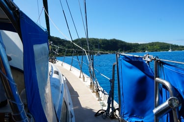
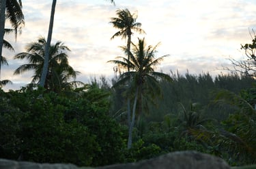
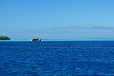
We really enjoyed our time in Raiatea, exploring four different anchorages and enjoying a wide range of experiences, from snorkeling in clear lagoons, to discovering a forgotten motu, to taking a dinghy river cruise, and joining a lively local festival. It was fantastic.
If you’d like to read more about our experiences on the island, check out the full blog article.
If you’d like to read more, follow our journey, and support what we do, don’t forget to subscribe to our newsletter or follow us on social media. Every bit of encouragement helps keep the adventure going and we’d love to have you aboard!